25 Data Maps to Describe the Alps
In a new publication, the Alpine Convention and Eurac Research have collected 25 maps that illustrate various key issues in the Alpine region and describe their historical evolution, current situation or future trends.
Almost 200,000 square kilometers of territory divided between eight states and more than 5,000 municipalities. The Alps are home to over 14 million inhabitants and 13,000 different species. Fourteen UNESCO protected sites also confirm that the Alpine region is a valuable natural and economic resource. How has it changed over the last decade? And what are the challenges ahead in terms of demographic, economic and sustainability development? Looking at data is the basis for answering these questions. In a new publication, the Alpine Convention and Eurac Research have collected 25 maps that illustrate various key issues in the Alpine region and describe their historical evolution, current situation or future trends. Among these issues are tourism, transport, urban-rural relations, climate change and energy consumption.
For example, the map of demographic change shows that, in several Alpine areas, the average age of the population is higher than the national average. In the mountain areas of Belluno and Friuli, this trend is becoming more pronounced with the passing years, thus becoming a wake-up call for the depopulation of these territories. Peter Laner, a Spatial and Urban Planning expert at Eurac Research, explains: “The data are a photograph of the current situation and are the basis for further studies. In this case, administrators could investigate the factors that influence this trend, for example, why young people leave countries and do not create new families."
Based on the data collected in the publication, other dynamics that can be analyzed in depth, such as differences between the various regions in tourist visits, energy consumption, and also the different effects of climate change on mountain areas and adjacent areas. The data represented in the 25 maps come from the studies that the regional development experts of Eurac Research have conducted in recent years and for the most part are data collected on a municipal basis, and therefore able to describe in detail the specificity of mountain municipalities.
The publication is available here or you can request it by email [email protected].
Related Articles

Tecno-prodotti. Creati nuovi sensori triboelettrici nel laboratorio di sensoristica al NOI Techpark
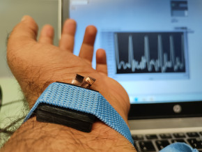
I wearable sono dispositivi ormai imprescindibili nel settore sanitario e sportivo: un mercato in crescita a livello globale che ha bisogno di fonti di energia alternative e sensori affidabili, economici e sostenibili. Il laboratorio Sensing Technologies Lab della Libera Università di Bolzano (unibz) al Parco Tecnologico NOI Techpark ha realizzato un prototipo di dispositivo indossabile autoalimentato che soddisfa tutti questi requisiti. Un progetto nato grazie alla collaborazione con il Center for Sensing Solutions di Eurac Research e l’Advanced Technology Institute dell’Università del Surrey.

unibz forscht an technologischen Lösungen zur Erhaltung des Permafrostes in den Dolomiten
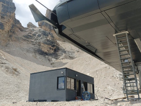
Wie kann brüchig gewordener Boden in den Dolomiten gekühlt und damit gesichert werden? Am Samstag, den 9. September fand in Cortina d'Ampezzo an der Bergstation der Sesselbahn Pian Ra Valles Bus Tofana die Präsentation des Projekts „Rescue Permafrost " statt. Ein Projekt, das in Zusammenarbeit mit Fachleuten für nachhaltiges Design, darunter einem Forschungsteam für Umweltphysik der unibz, entwickelt wurde. Das gemeinsame Ziel: das gefährliche Auftauen des Permafrosts zu verhindern, ein Phänomen, das aufgrund des globalen Klimawandels immer öfter auftritt. Die Freie Universität Bozen hat nun im Rahmen des Forschungsprojekts eine erste dynamische Analyse der Auswirkungen einer technologischen Lösung zur Kühlung der Bodentemperatur durchgeführt.

Gesunde Böden dank Partizipation der Bevölkerung: unibz koordiniert Citizen-Science-Projekt ECHO
Die Citizen-Science-Initiative „ECHO - Engaging Citizens in soil science: the road to Healthier Soils" zielt darauf ab, das Wissen und das Bewusstsein der EU-Bürger:innen für die Bodengesundheit über deren aktive Einbeziehung in das Projekt zu verbessern. Mit 16 Teilnehmern aus ganz Europa - 10 führenden Universitäten und Forschungszentren, 4 KMU und 2 Stiftungen - wird ECHO 16.500 Standorte in verschiedenen klimatischen und biogeografischen Regionen bewerten, um seine ehrgeizigen Ziele zu erreichen.

Erstversorgung: Drohnen machen den Unterschied
Die Ergebnisse einer Studie von Eurac Research und der Bergrettung Südtirol liegen vor.
